How’s the air up there?
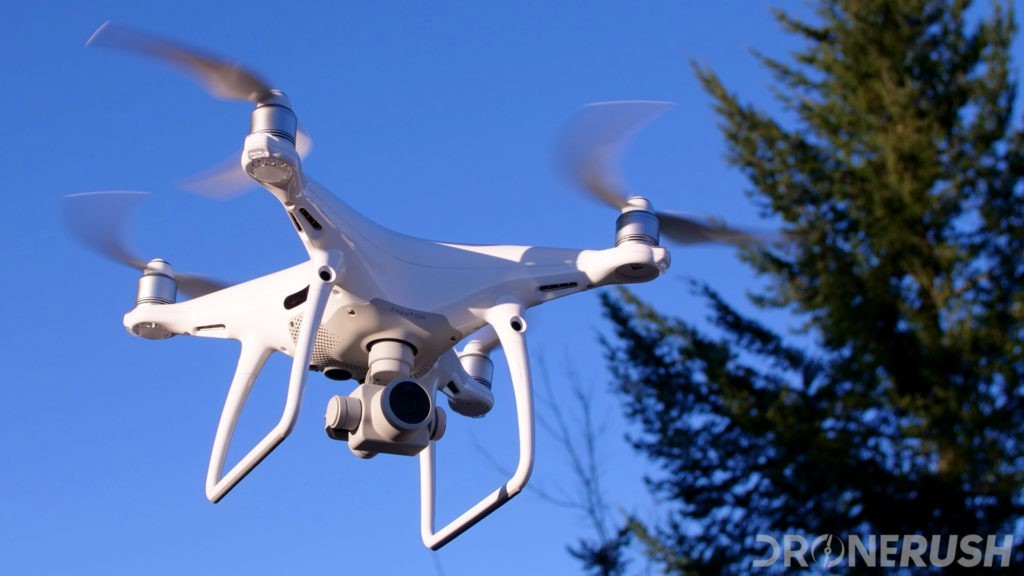
Unmanned aerial vehicles – UAV or drones – are the wave of the future for environmental services. Drones are able to quickly map large areas of land to be used across a wide variety of services; Aquatic Invasive Species ID, ground contours and elevation (mapping link under construction), and project layout and design.
At WLPR our federally licensed staff has the drone experience to take your project to new heights.
Contact our pilot today to take off.