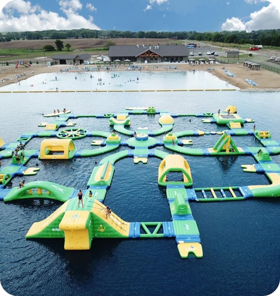
At Wisconsin Lake and Pond Resource, our team uses state-of-the-art GPS units and have exceptional mapping capabilities. Which includes the ability to generate bathymetry maps and calculate water volumes for the entire lake or specific portions. These technologies allow us to create a record of conditions and past management so you have the necessary and most accurate data for your project.
We can provide all your aquatic plant survey and mapping services including:
- Full Point Intercept surveys
- Individual species mapping
- Specialized surveys of wild rice beds for cultural purposes
To begin leveraging the experience and knowledge of our team, give us a call at 866-208-0724 or fill out our contact form and a member of Wisconsin Lake and Pond Resource will be ready to dive in with you.
- Quality Water for Quality Wildlife ViewingBy Zachary D. Hass Senior Aquatic Biologist, Director of Operations Every year property owners, nature viewers, conservationists, and hunters are looking at how they can improve properties for wildlife. One of the most overlooked items… Read more: Quality Water for Quality Wildlife Viewing
- A Pond & The “L” WordLEAK!! By Wisconsin Lake & Pond Resource Staff If we ever get a call that a property owner’s pond is leaking, there is typically a root reason or event that is occurring other than an… Read more: A Pond & The “L” Word
- Picking the Right Excavator for your ProjectBy Wisconsin Lake & Pond Resource Staff When a pond project is in the planning process, one of the most important decisions is selecting the right excavator for the specific type of project. If the… Read more: Picking the Right Excavator for your Project
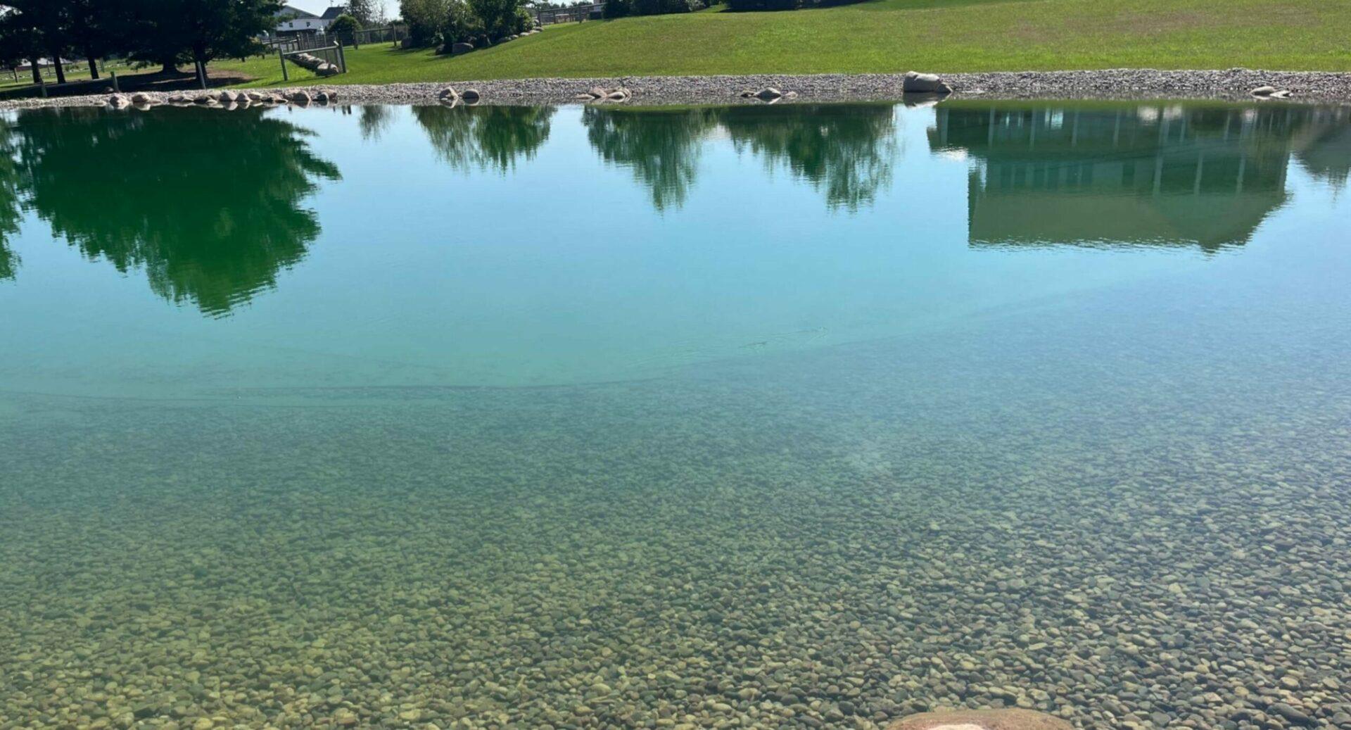
Service is great. Pond quality good.
Jim B